Petrified Forest National Park

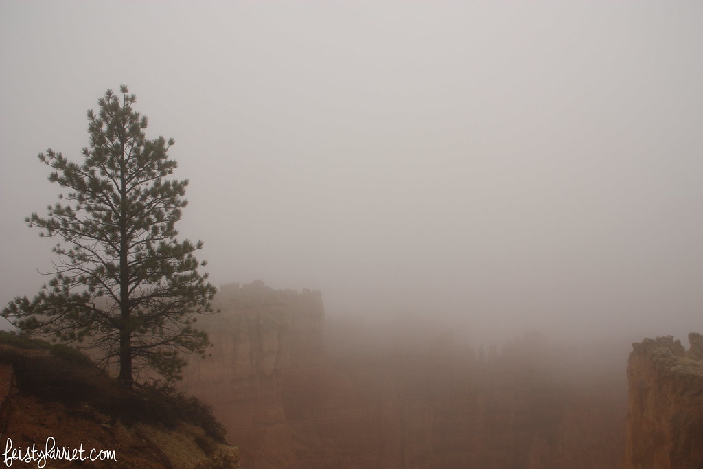
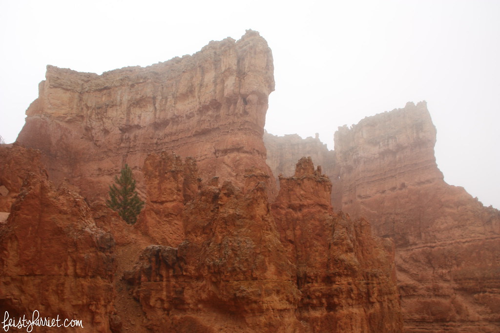
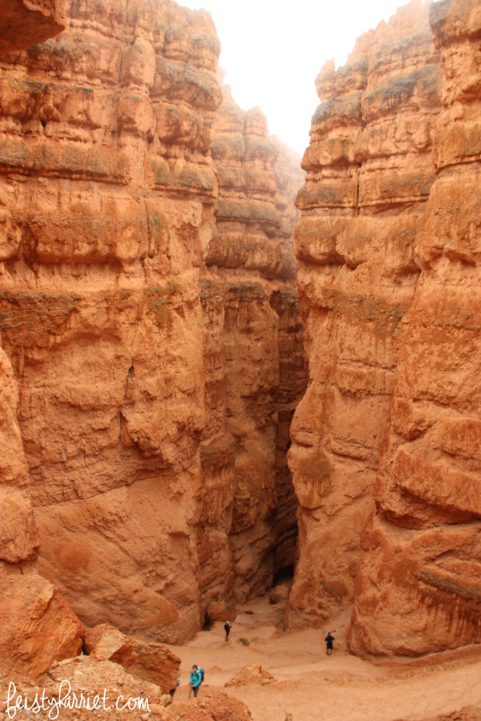
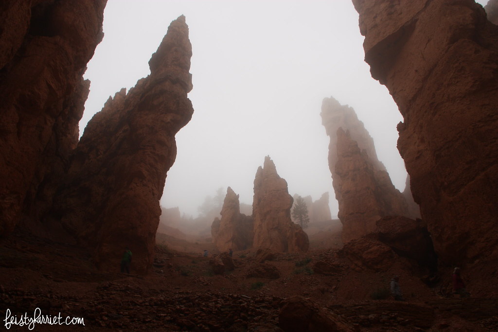
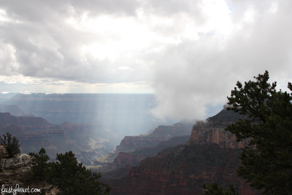
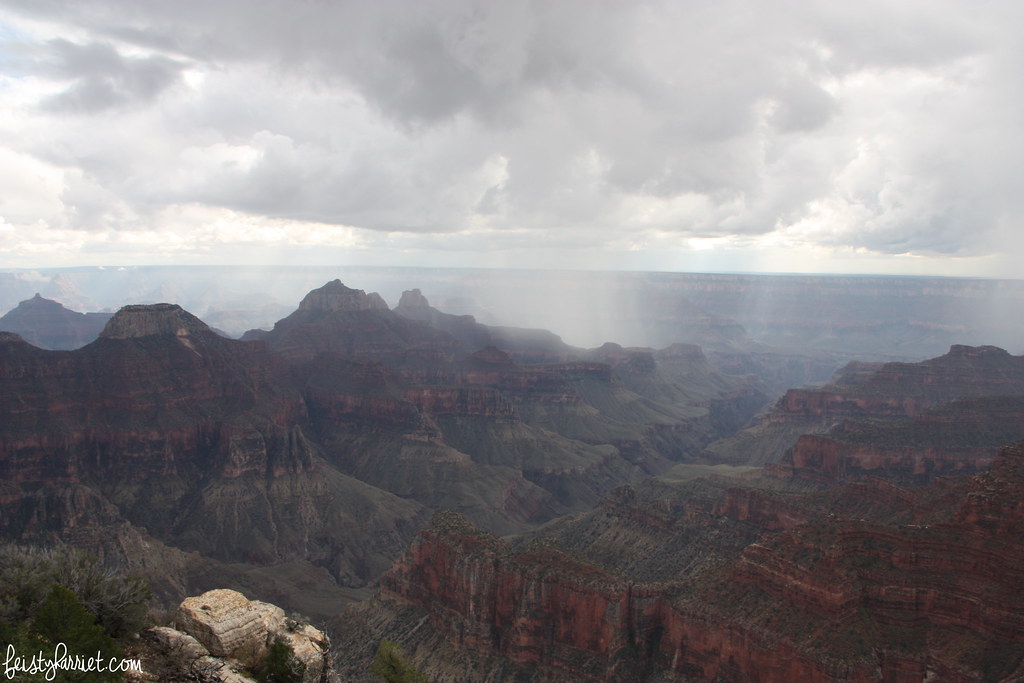
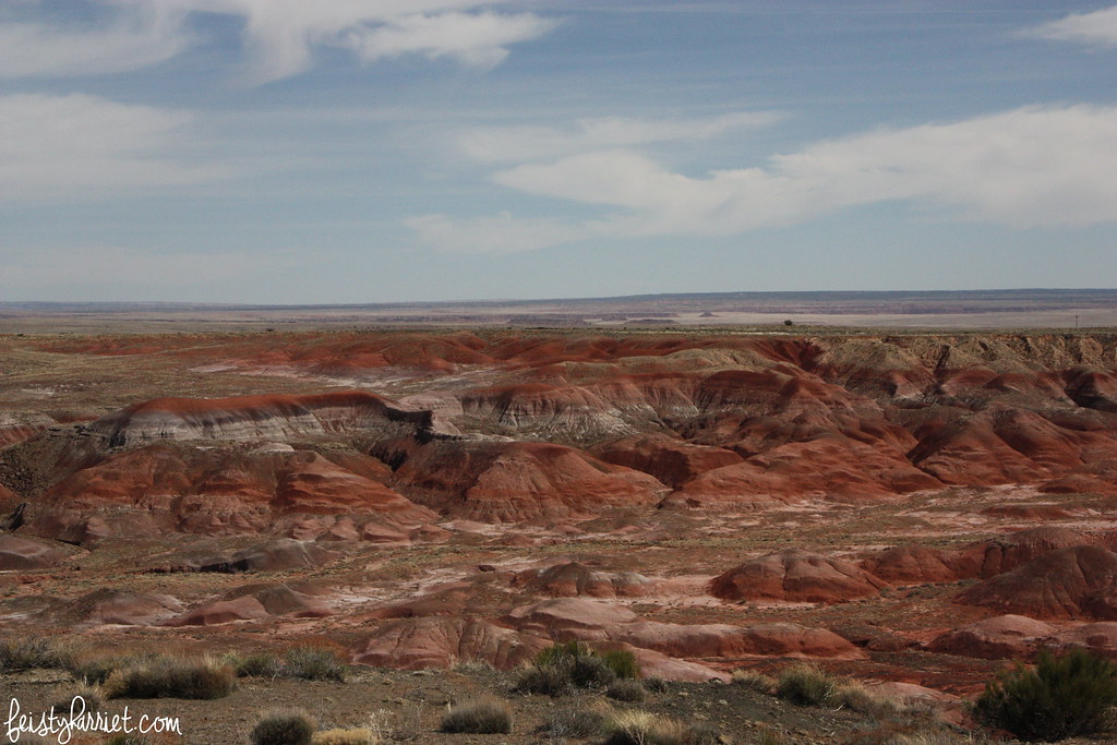
Once upon a time, in the middle of a very long drive from Salt Lake to Phoenix, I took myself on a little detour to Petrified Forest National Park in Arizona. It was a park I’d never visited, was literally right off my route (which was already a detour to include stops at Four Corners and Shiprock, NM), and I figured a quick stop to check it out would be a good way to stretch my legs. It was….well, it as nothing like I expected, and not in a very good way. I mean, the stripey desert was gorgeous, with layers of red and white and purple and green on the dunes and hills glowing in the late afternoon sun. It was too warm for me to really enjoy a little hike (when I’d left that morning it was in the low 30’s, the weather in Petrified Forest NP was in the 80’s with no shade and very few substantial clouds), and I had been subsisting off gas station snacks for a day and a half already.

Petrified Forest NP 1_feistyharriet_March 2016

So, instead of hiking down among the hills, I wandered around the look out places, and then drove to the next, and the next, and the next. Petrified Forest NP isn’t large, and there is a 20-ish mile loop that takes you through the most popular parts of the park. After an hour of driving and wandering and driving and wandering I still hadn’t seen any actual trees petrified into rocks, I’m not sure what I was expecting, but, I don’t know, maybe a few rocky stumps here or there?

Petrified Forest NP 2_feistyharriet_March 2016

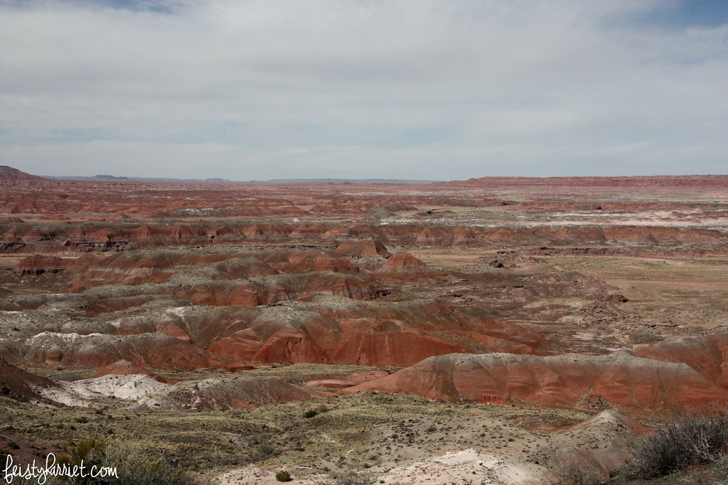
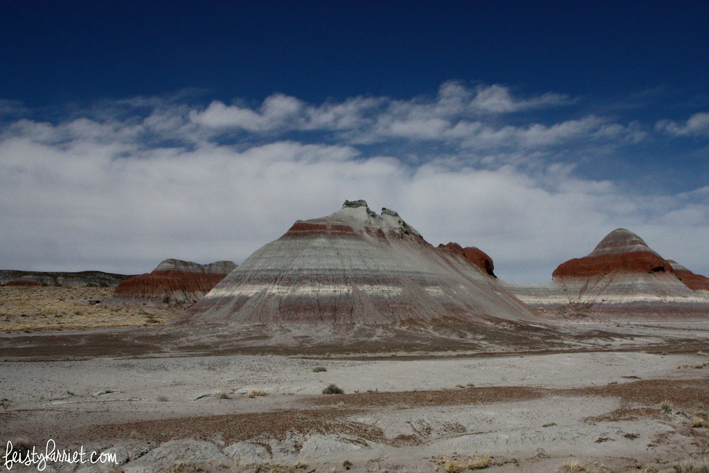
Nope, just more striped hills. Pretty, stunning even, but for me this part was not As Advertised, and that usually leads to disappointment.

Petrified Forest NP 3_feistyharriet_March 2016

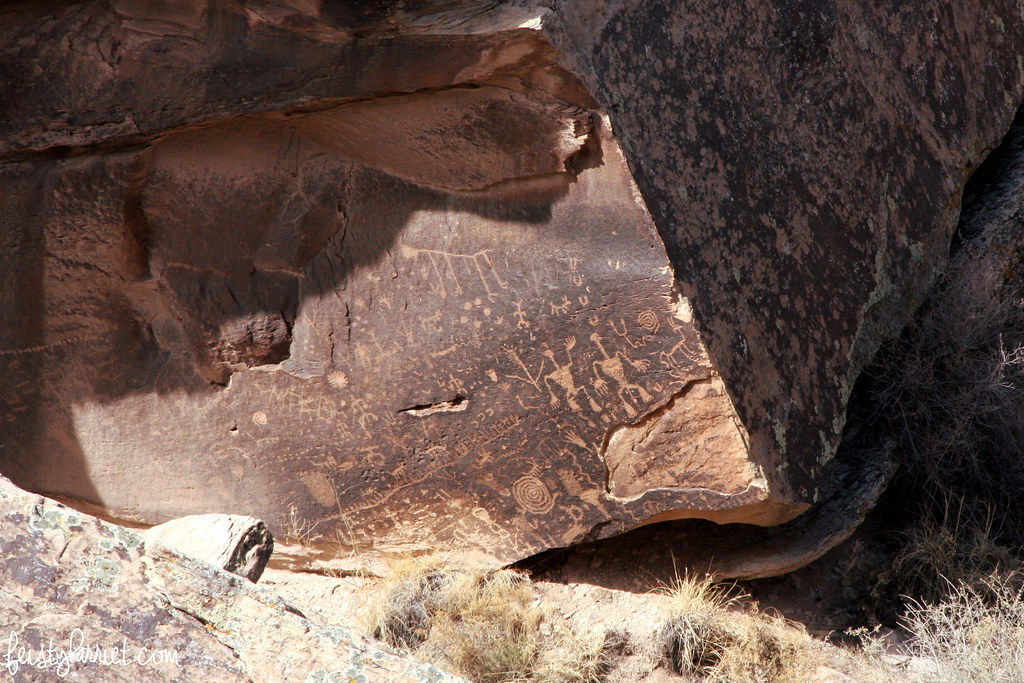
Towards the end of my drive through the park I pulled over to view Newspaper Rock, which is best seen with binoculars (or the zoom function of your best camera lens), humans aren’t allowed anywhere near the engravings, probably with good reason; time and time again humans in the general public have shown they are the worst for taking care of ancient spaces. That being said, I do wish I would have been able to get a closer look at these drawings, don’t they look so cool!?

Petrified Forest NP 4_feistyharriet_March 2016

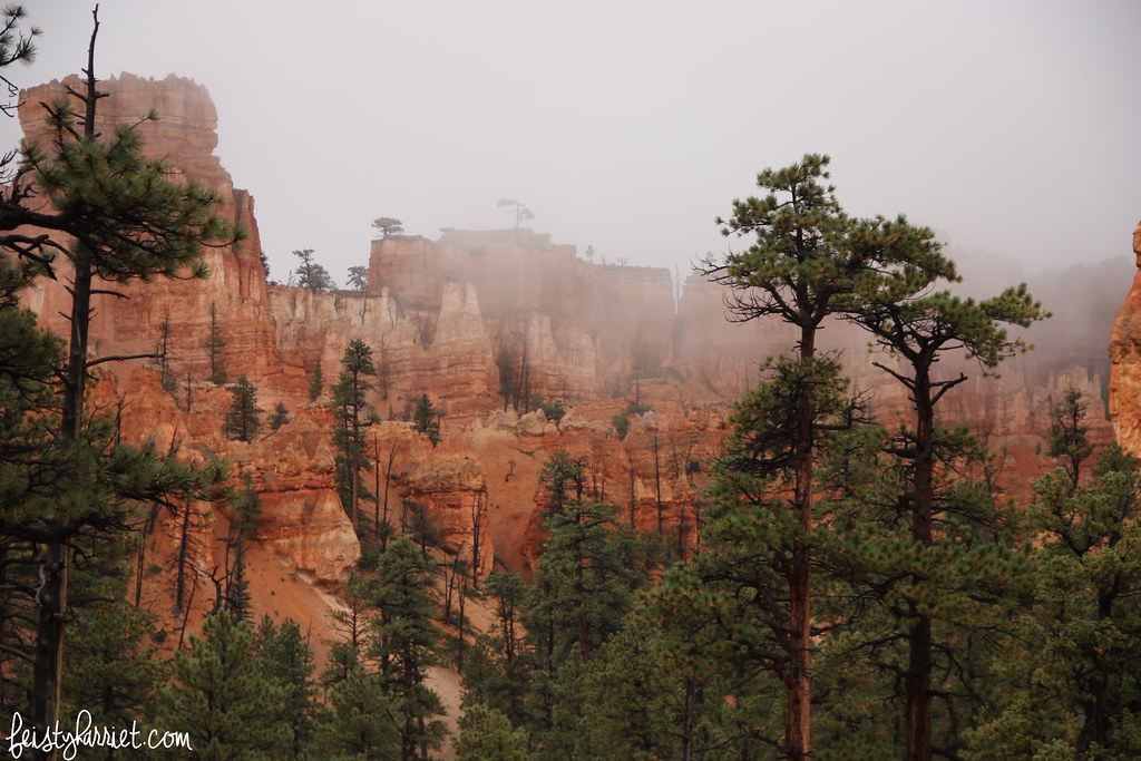
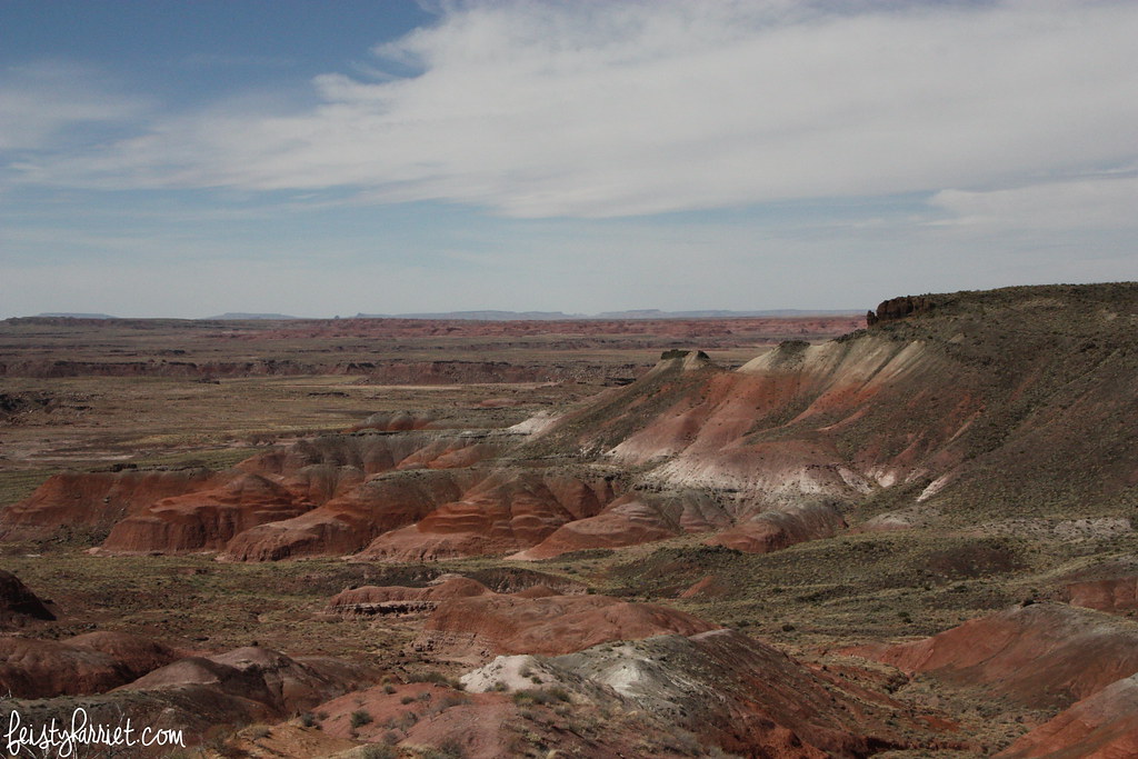
As I headed out of the park the red striped hills gave way to gray and blue and green striped hills, they look a lot more like The Badlands in South Dakota than anything I’ve seen in Red Rock Country. And then, my camera battery died. I did see a few rocky stumps and sections of fallen trees before I exited the park, but most of my little adventure was striped and petrified desert. Again, that kind of geology is pretty cool, but it wasn’t what I was expecting.

Petrified Forest NP 5_feistyharriet_March 2016

The town of Holbrook, Arizona is just a few miles from Petrified Forest National Park (population: 5,000), they have petrified logs lined up like vehicles at a car lot, hundreds of them for sale, giant ones, medium-sized ones, smaller ones. So, if petrified logs is what you are hoping to see, you will probably have a better shot of seeing them in town than in the park–although it kills me a little to actually type those words out.

Have you been to the Petrified Forest? Have you ever been disappointed in a National Park? Do you pack extra camera batteries, prepared like a girl scout, to avoid lack-of-battery predicaments!?

Harriet sig

Bryce Canyon National Park in the fog

Bryce Canyon National Park_feistyharriet_2015 (3)

On one of my trips between Salt Lake and Phoenix I decided to make a slight detour and stop at Bryce Canyon National Park. I was hoping for some gorgeous photos of soaring ruddy cliffs and orangey spires in the setting sun. The weather had very different ideas. The entire canyon was smothered in fog, from the rim you could hardly see anything below.

Bryce Canyon National Park_feistyharriet_2015 (5)

On a whim I decided to hike down into the canyon, hoping for a few awesome shots. I was absolutely unprepared for such a hike, I was wearing sandals, no water, and no real rain protection. But, the Navajo Loop trail is just a little more than a mile, descending down the canyon walls, through Wall Street, wandering along the bottom of the canyon with the creek and the pine trees, and then back up again. I figured it couldn’t be that bad.

Bryce Canyon National Park_feistyharriet_2015 (6)

This is Wall Street, it’s easy to imagine these soaring cliffs as enormous sky scrapers, right? The trail was wet and pretty slick, I carefully picked my way down the switchbacks, big camera in hand. It’s hard to imagine how enormous these cliffs are, how tiny the hikers seem. But, lawsy, those views!!!

Bryce Canyon National Park_feistyharriet_2015 (7)

From the bottom of the canyon looking back towards the rim, I felt like I was in a completely different world from the one at the surface. There weren’t may people there, and it only added to the creepy-beautiful feeling, eerie and other-worldly and heart-breakingly quiet.

Bryce Canyon National Park_feistyharriet_2015 (8)

The weather cleared up as I made my way out of Wall Street and onto the rest of the Loop trail, there were cedar trees and sherberty colored stripes and outcropping hoodoos everywhere.

Bryce Canyon National Park_feistyharriet_2015 (9)

As I began to ascend the canyon wall, the weather began to make me a little nervous. The drizzle of rain turned much more sleety, it got colder and the wind whistled through the formations. The trail was slick and muddy, my sandals slapped and slipped on the rocks. I carefully picked my way upwards, trying to shield my camera from the rain and simultaneously keep my balance with my very inappropriate footwear. It got foggier and foggier, I could really only see about 20 feet ahead of me when I came across Thor’s Hammer, one of the more photographed formations in Bryce Canyon.

Bryce Canyon National Park_feistyharriet_2015 (11)

Within 30 seconds, the fog had swallowed this formation completely. I hurried as quickly as I could back to the rim, picking my way, slipping and sliding on the now completely empty trail. The fog topside was thicker and heavier than before, I was relieved to get back in my dry car and crank up the heat. Even though this was a very quick stop, I really loved my short hike and these images.

Bryce Canyon National Park_feistyharriet_2015 (1)

Have you been to Bryce Canyon? Have you ever hiked in the fog? Tell me your stories!

Harriet sig

Moments on the North Rim of the Grand Canyon

Grand Canyon North Rim_feistyharriet_October 2015 (4)

You know those moments, the ones full of wonder and awe? The moments when you feel both incredibly small and remarkably lucky to see and experience and know the things you do? I know many people feel those moments often with their children, I know I do sometimes with brand new babies or a particularly delightful moment with a niece, nephew, or one of my stepkids. More often than not, however, I feel those moments in the great outdoors, exploring mountains and wild places where it is quiet and full of the Great Everything.

On one of the many trips between Salt Lake and Arizona last year I stopped at the Grand Canyon and watched a storm roll over the canyons and ridges. It was mostly quiet, a few off-season tourists, and I could smell the rain and feel the strength of the storm in the wind.

It was one of the most delightful moments, the kind that fill you up to your brim and let all the heart-healing goodness slop down your sides. Sometimes I forget how much I desperately need moments like that, the ones that heal your soul and give you a little push in the right direction. Whether those moments are with mountains or babies I want to actively seek those opportunities this year.

Grand Canyon North Rim_feistyharriet_October 2015 (7)

And if that means a solo trip back to a lonely spot in the Grand Canyon, so be it.

Harriet sig

San Antonio Mission Trail, Texas

The Mission Trail in San Antonio consists of the five early missions that have since been swallowed up by the city. Some of the old churches are in better shape than others, and some were more extensive in the first place. Blue Eyes and I spent a Sunday morning wandering from one to the other, checking out the ruins, peeking in the chapels and standing in awe of the architectural feats accomplished during the 1700’s in the middle-of-nowhere Texas.

The Alamo is one of the original San Antonio missions, it is by far the most famous due to the terrible loss the Texans suffered at the hands of the Imperial Mexican army. (Confession: I actually had no idea that the Texans lost at the Alamo….I hope I can still be friends with those of you from Texas. And, to be fair, you probably didn’t know that Utah was founded by religious refugees running from government-issued extermination orders in the Midwest. So, state history lessons for everyone.)San Antonio - The Alamo

Mission Concepcion

After The Alamo with it’s memorial flowers and altars and hundreds of people milling about, I was surprised that Mission Concepcion was so different. We arrived just as Mass was getting out, and seeing families chatting and kids running around the lawns seemed so…normal. This building in old and weathered, and I was both surprised and delighted that–despite it’s National Monument status–it is also just a regular cathedral for the devout people nearby.

San Antonio - Mission Concepcion

Mission San Jose

Called the “Queen of the Missions” this cathedral was by far my favorite. I think it is the largest, and has these amazing arched extensions around the main church with gardens and flowers all over.

San Antonio - Mission San Jose

I mean, really. How can you not be totally charmed by this place!?

San Antonio - Mission San Jose

Mass was happening while we were visiting, so we didn’t poke our heads inside at all, but we wandered around for almost an hour, admiring the stonework and the sheer size of the building, and me patiently(ish) waiting for the crowds to clear a bit so I could get the photos I wanted.

San Antonio - Mission San Jose

Mission San Juan

Mission San Juan (which I don’t have any photos of), was the simplest building, whitewashed and without much decoration. We poked around the dark little museum and circled the grounds, but services were taking place in the church and we didn’t want to disturb, so off we went to the final mission.

Mission Espada

The oldest of the East Texas missions, the Espada church looks like it’s abandoned, but there is a small monastery and retreat attached where people continue to live, study, and pray.  The rest of the grounds are in ruins, with stones and bricks removed for decades for other building projects. Now it’s mostly just the outlines of the walls and foundations.

San Antonio - Mission Espada

However, the chapel was empty so we were able to go in and sit for a little while, admiring the faith and dedication of these believers from hundreds of years ago, and to appreciate the service and life-work of the priests and monks who continue to run the missions in San Antonio.

San Antonio - Mission Espada

Harriet sig

Fort Sumter, Charleston, South Carolina

Fort Sumter, South Carolina

Fort Sumter, a tiny island fortress in Charleston Harbor, is the site where the Civil War began. The first shots fired in 1861 were by the Confederate army, they blasted Fort Sumter until it surrendered a day-and-a-half later. Over the next four years the fortress was reduced to rubble in battles and was not abandoned until Sherman marched his army through the South on his way to Atlanta in 1865.
Fort Sumter, South Carolina

I’ve read quite a bit about the South and the Civil War, but most of my knowledge is about the war in and around Virginia and Pennsylvania, what I know about the South is mostly gleaned Gone With the Wind. I loved being able to wander around the island, see the massive canon that were used to fire on ships, other islands, and the city of Charleston. I am still amazed at how large those guns are and their range is impressive.

Fort Sumter, South Carolina

After Fort Sumter was blown to bits, it was never rebuilt. What remains is the foundations of what used to be a several-stories high building that housed troops and supplies for weeks on end. It makes the broken walls and shattered bricks all the more eerie, imagining hundreds of men living and fighting in layers on top of you.

Fort Sumter, South Carolina

Fort Sumter, South Carolina

My visit at Fort Sumter was fairly short, but as there is very little to see–the whole island is really covered by the ruins of this fort and a small museum–I didn’t mind. A massive rain storm was rolling in and I was more than happy to get back on the ferry and back to (below sea-level) land before that tropical storm hit in full force. If you go, you have to buy your ferry tickets separately and probably in advance, they tend to fill up quickly via online sales, especially in peak tourist seasons.
Fort Sumter, South Carolina

Also, I think it’s time I refocus some of my Civil War reading on areas and battles farther south, I was embarrassed at how little I knew. (I’m a nerd. I know. It’s part of my charm.)

Harriet sig